
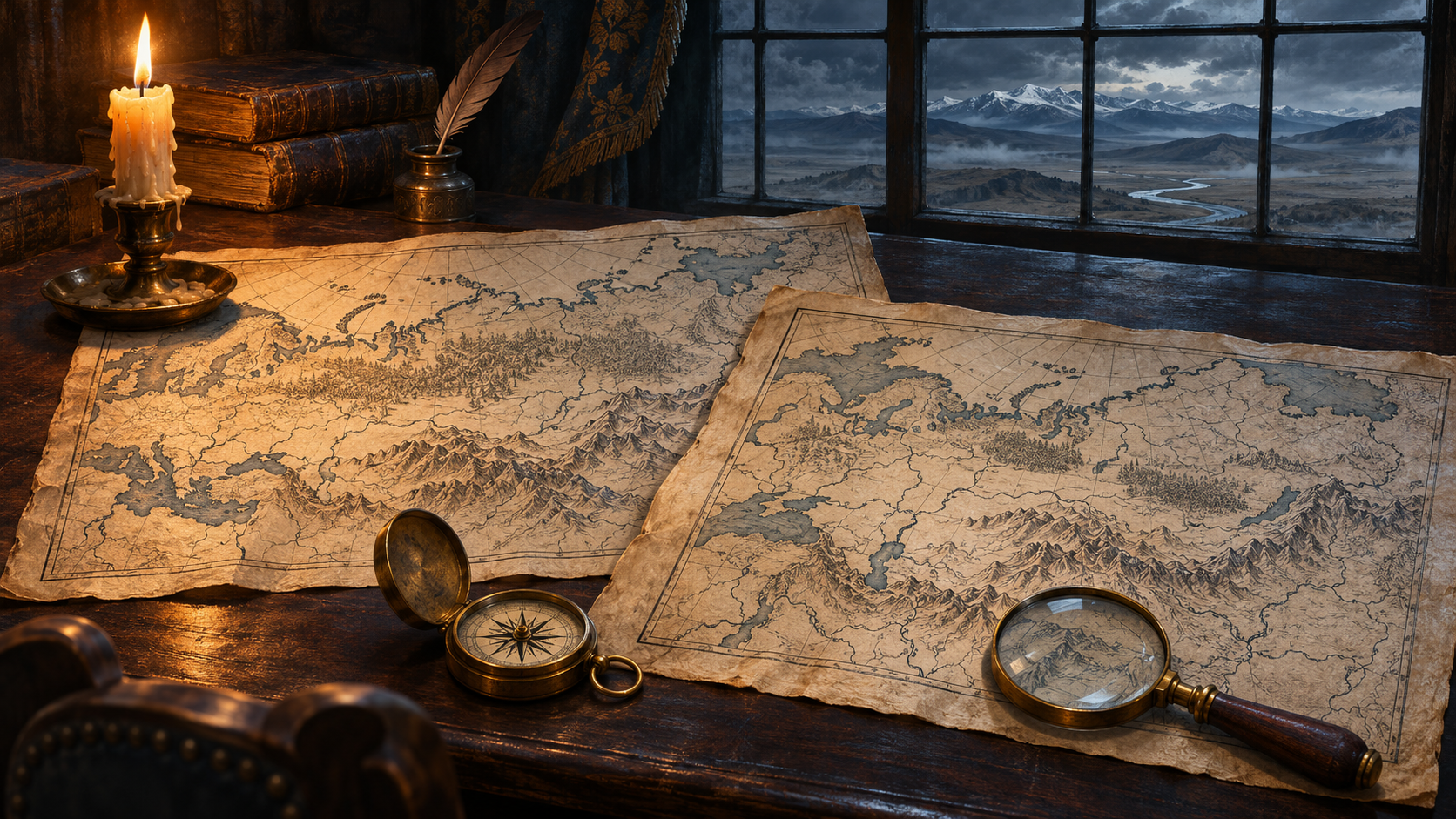
A name that seems to vanish
An old map can feel like a message from a missing world. Across a large stretch of Asia, a single word appears: Tartary. Compare it with a modern atlas and the name has disappeared. For readers exploring Tartaria and aliens, that contrast offers an irresistible starting point. The useful question is what the mapmaker meant by the label.
The Library of Congress traces Tartary as a European geographical term with shifting boundaries and meanings. Its study compares maps that divide the region into several differently qualified Tartaries. The terminology was never a reliable shorthand for one government, one population or one technological system. Real Tatar peoples and their histories should not be confused with the modern idea of a concealed global civilization. [1]
Read the map as an object
Guillaume Delisle’s Carte de Tartarie, dated 1706, survives in the Library of Congress. A later map catalogued there dates to 1757. John Wilkes’s Modern Asia provides another dated comparison point in 1796. These records let readers examine particular artifacts rather than relying on an undated crop circulating online. [2][3][4]
Our suggested investigation is simple: record the title, date, author and legend before comparing boundaries. Ask whether a word describes a territory, an ethnic grouping or a political authority. Similar lettering across a huge area does not answer those questions by itself. A map can preserve the assumptions of its maker as well as useful geographical information.
Where does the alien claim begin?
Our assessment: a disappearing label does not demonstrate a destroyed empire, much less extraterrestrial contact. That additional claim would require independent evidence, such as securely dated material remains and records connecting them to a specific society. Maps make the mystery worth investigating; they do not supply the missing chain of proof. In this series, Tartaria is a theme for exploring such claims, not an established age of alien technology.